HuskySat-2 (HS-2) Division
Pushing the boundaries of space navigation, the HS-2 Division (our largest division at this time) is returning HSL to the stars.
Overview
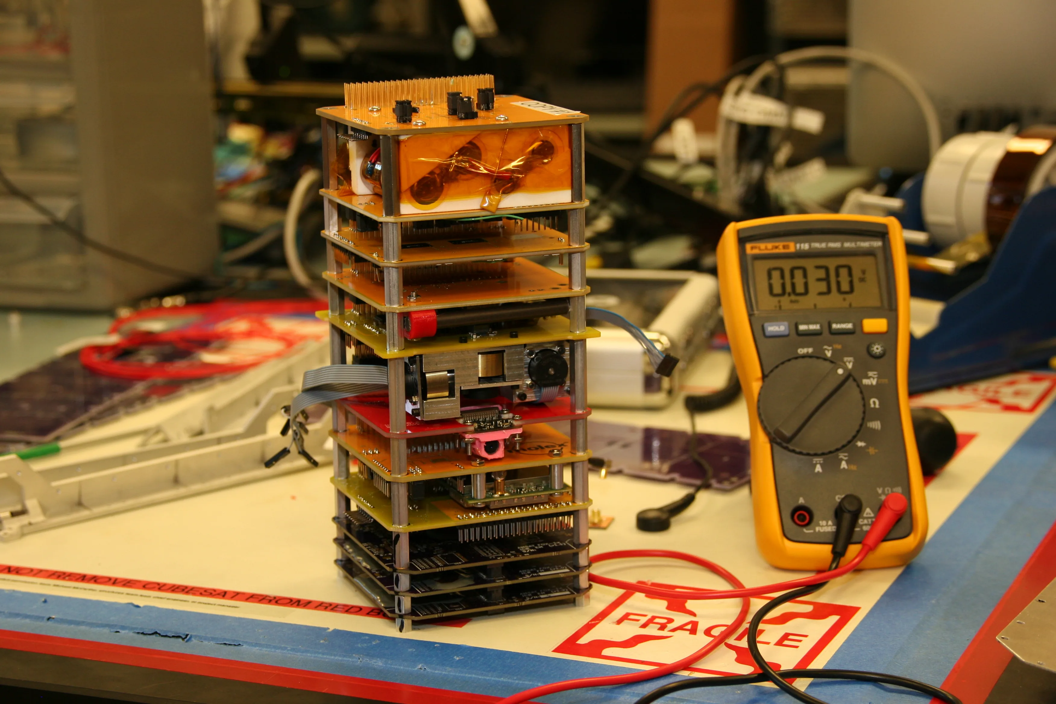
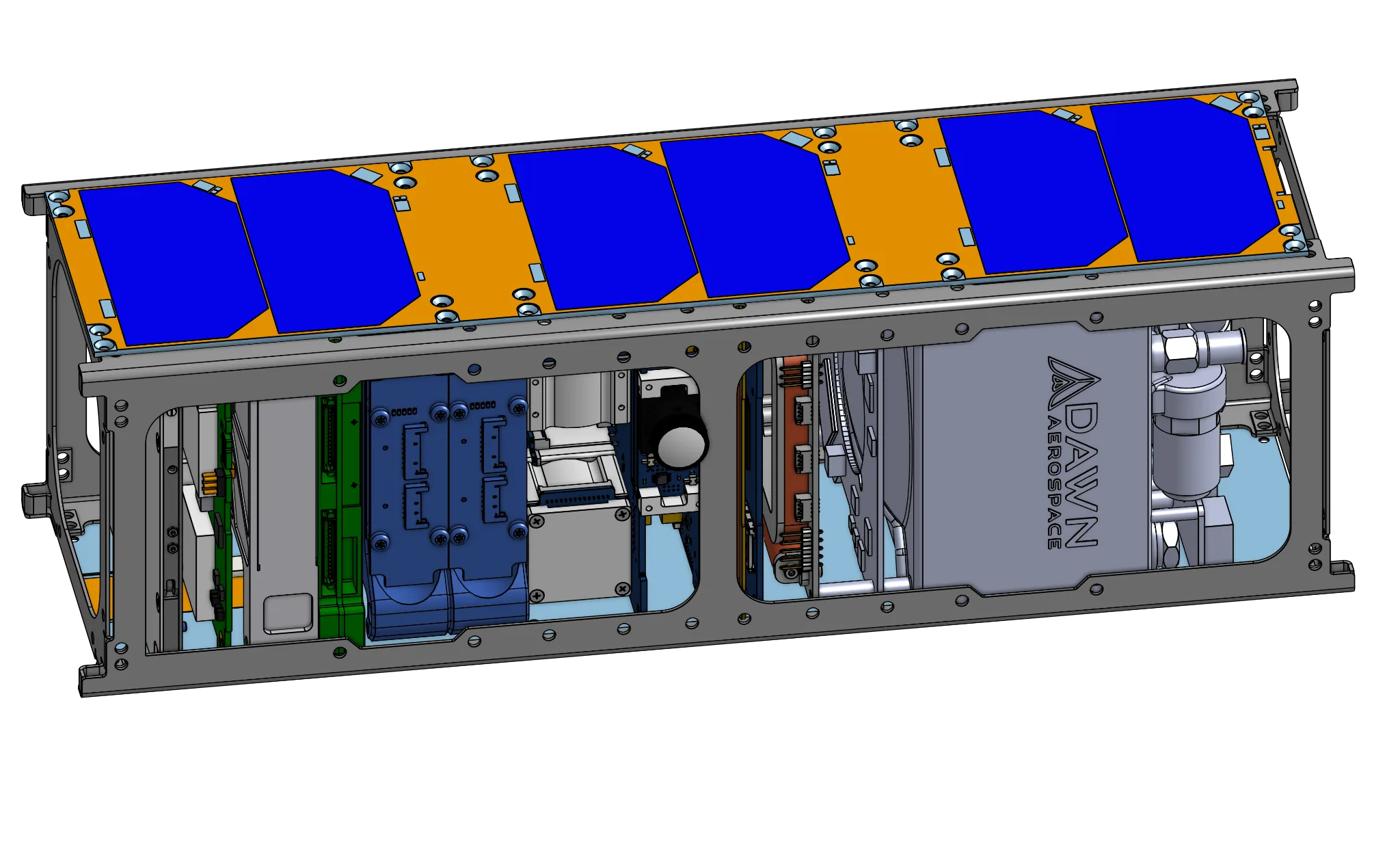
The HS-2 Division's primary mission is to design and build a 3U CubeSat (HS-2) that will test our in-house developed, GPS-independent optical navigation software: LOST and FOUND. This system will operate aboard HS-2 as it orbits Earth at approximately 200-400km altitude, capturing images of Earth's curvature and the star constellations to determine its position in space and time.
By demonstrating the effectiveness of LOST and FOUND, we aim to create a low-cost, open-source alternative to conventional attitude and position measurement systems (like GPS). This technology will also serve as a viable option for navigation around the moon and other celestial bodies. The mission is sponsored by the University Nanosatellite Program, which provides both funding and expert support to help students and universities build and launch their own satellites.
Status: In Progress
| Mission Type | CubeSat |
|---|---|
| Launch Date | ~2028 |
| Deployment Location | Low Earth Orbit |
| Sponsor | University Nanosatellite Program |
Primary Objectives
- Successfully design, build, and launch the HS-2 CubeSat
- Validate our LOST and FOUND optical navigation software in orbit
- Develop an open-source alternative to traditional navigation systems
- Provide hands-on aerospace engineering experience to university students
Current Focus Areas
- Refining the LOST star tracker and FOUND Earth tracker algorithms
- Completing critical design reviews for all subsystems
- Procurement and testing of flight hardware components
- Integration planning and procedure development
- Preparing documentation for UNP milestone reviews
Subsystems
This subteam provides mechanical support for all spacecraft components, ensures the spacecraft can survive launch conditions, and maintains proper alignment between components.
This subteam ensures all components of the satellite remain within proper temperature ranges during all mission phases through monitoring, thermal isolation, and heat management.
This subteam manages the satellite's power generation and distribution systems.
This subteam develops a specialized camera system for determining the satellite's precise orientation by capturing and analyzing star images, providing "ground truth" orientation data to support the ADCS.
This subteam develops systems to track the Earth's horizon for orientation purposes.
This subteam works on systems that determine and control the satellite's orientation in space.
This subteam manages the satellite's computing systems and data processing capabilities.
This subteam develops systems to facilitate communication between the satellite and ground stations.